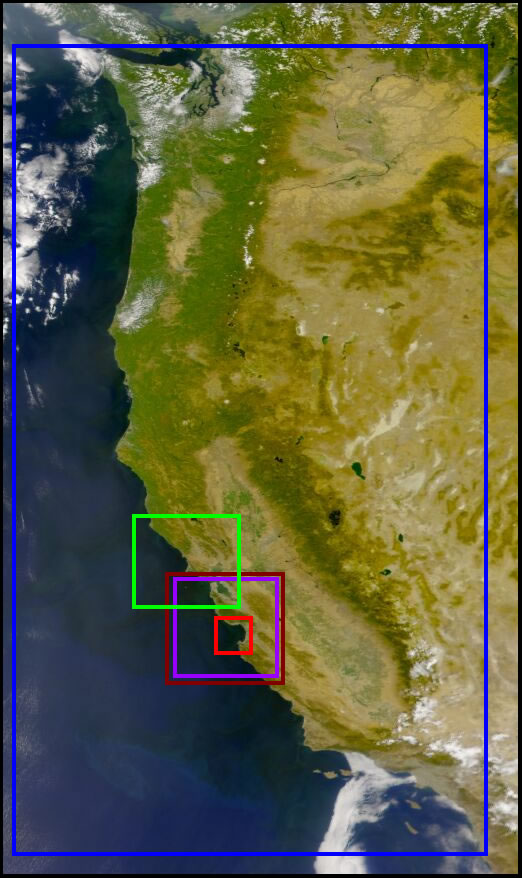
Ocean Satellite Data Coverage Areas
| CoOP
Mapped |
West
Coast |
Coastwatch |
W2W Monterey Bay Hi-Res |
SST |
What do the image filenames mean? During an image slideshow, most of the satellite image filenames are made up of a string of numbers and letters. The numbers symbolize the date and time the image was captured. For example, for a West Coast file with the nomenclature "S2002001215017_chl_wc", "S" symbolizes SeaWiFS for the sensor that collected the data, "2002" is for the year, "001" for the year-day, "215017" for the hours-minutes-seconds on a 24-hour timescale, "chl" is for chlorophyll a, the data quantity the image is representing, and finally "wc" is for the West Coast mapping of the data. Each of the datasets shows a slightly different mapping orientation and segment of the coastline.
return to Ocean Data Center